


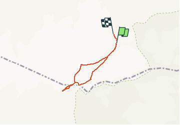

12.7 km | 27 km-effort


User GUIDE


FREE GPS app for hiking
 SityTrail
IGN / Geographical institutes
SityTrail World
The world is yours!
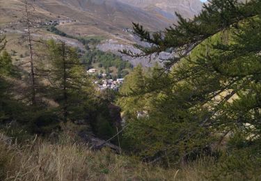
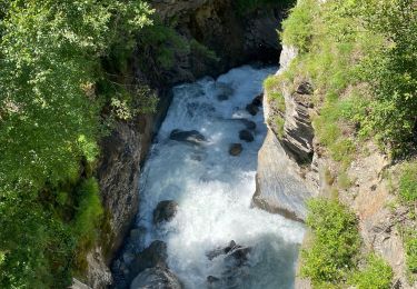
Trail Walking of 4.8 km to be discovered at Provence-Alpes-Côte d'Azur, Hautes-Alpes, La Grave. This trail is proposed by amiral13.
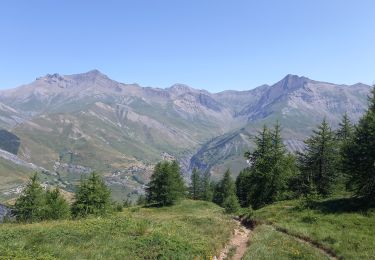
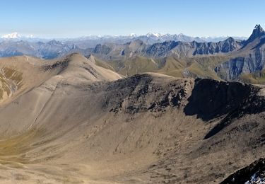
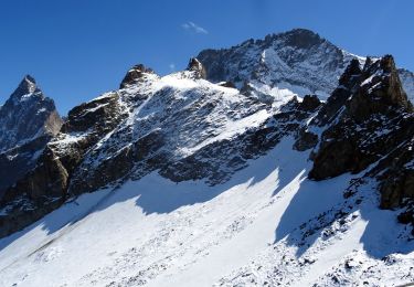
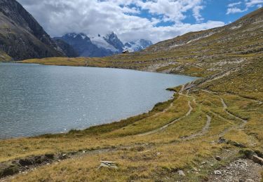
Une jolie initiation aux courses glacières.
bien entendu cela nécessite de se faire accompagner par une personne expérimentée ou par un guide (tarif indicatif 2020, 114€ par personne).
le téléphérique de la Grave permet d'annuler la marche d'approche, mais les puristes pourront toujours dormir au refuge Evariste Chancel.


Walking
Walking

Walking
Walking

Walking

Walking
Walking
Walking
Walking